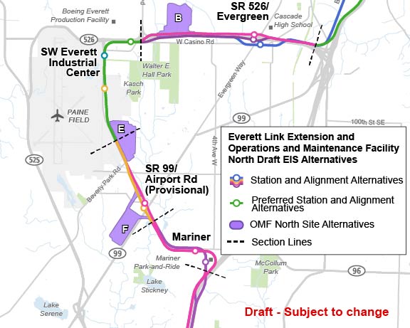
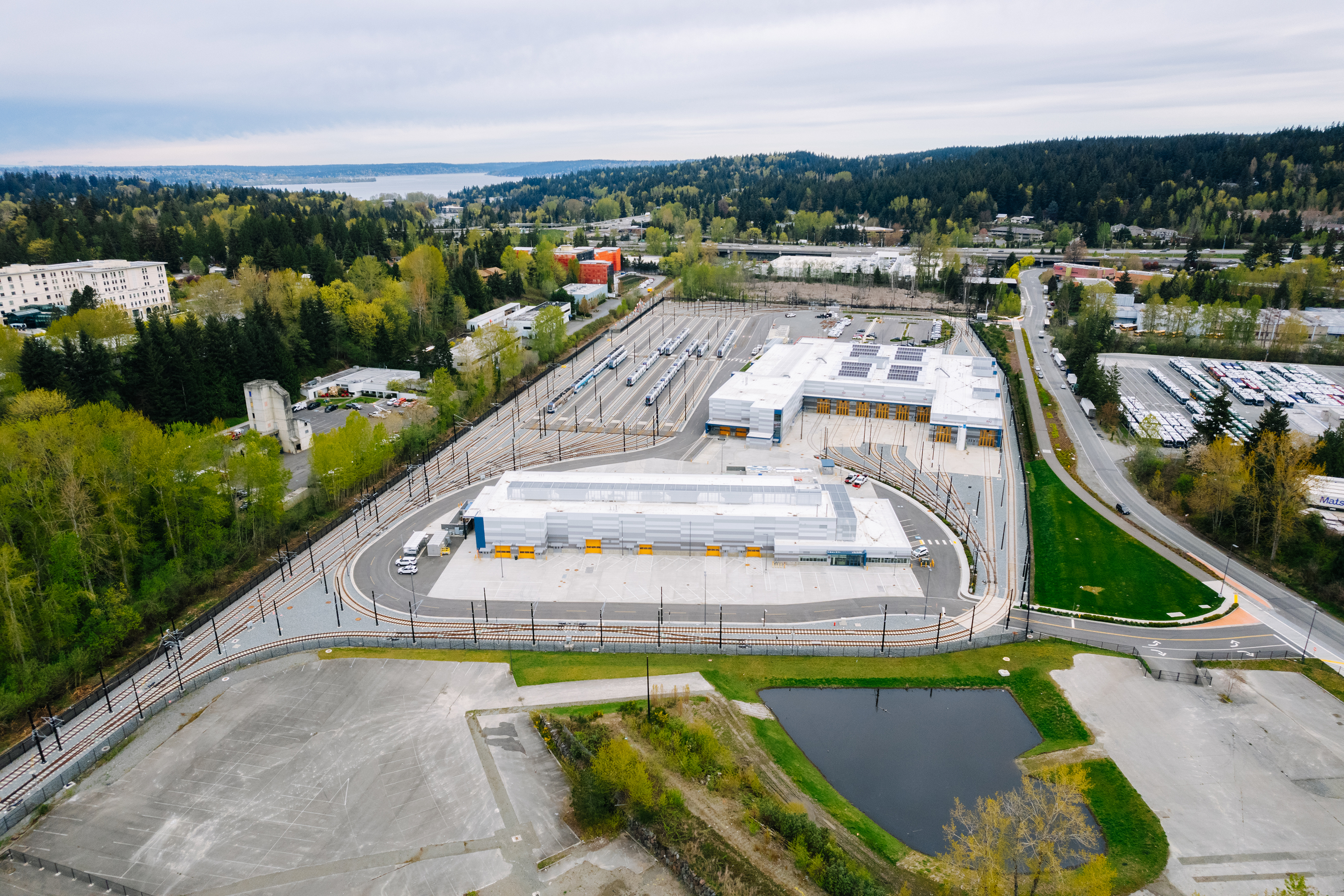
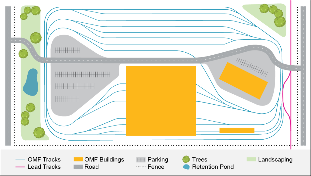
OMF Site B
OMF Site B would be located adjacent to the alignment along the north side of SR 526. The map shows potential lead tracks from both sides of SR 526.
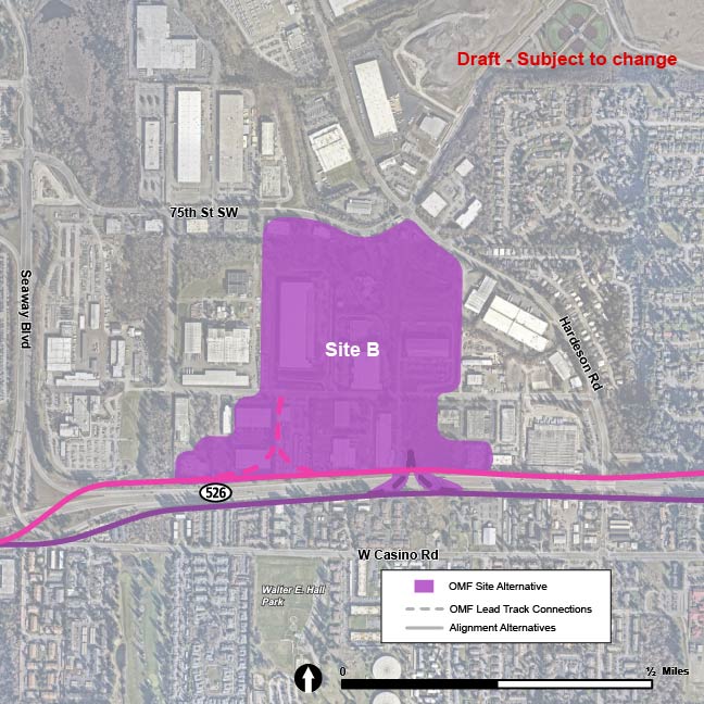
OMF Site B, located north of SR 526 and west of Hardeson Road, is shown above. | Click on image to enlarge